
THE DESTINATION
There are journeys that test a rider, and there are journeys that change one. The Ladakh and Zanskar Complete Himalayan Loop is the latter. Across 14 days and nearly 1,200 miles, this expedition traverses the full breadth of the most dramatic high-altitude landscape on Earth. From the dark-sky plains of Changthang to the turquoise shores of Pangong Tso, from the ancient Silk Route corridors of Nubra Valley to the cliff-carved monasteries of Zanskar, a valley so remote it remains cut off from the world for half the year. The route summits Umling La at 5,798 m / 19,024 ft, the highest motorable road on Earth, and crosses five major passes above 4,700 m / 15,400 ft before it is done. This is not just a tour of Ladakh. It is a complete immersion in it, designed for riders who have earned the right to something genuinely extraordinary and who understand that the finest journeys demand the most from those who ride them.
Route Highlights: Leh · Changthang Plateau · Hanle Dark Sky Reserve · Indian Astronomical Observatory · Umling La (5,798 m / 19,024 ft, highest motorable road on Earth) · Line of Actual Control · Pangong Tso · Shyok River Route · Hunder Sand Dunes · Sumur Dunes · Panamik Hot Springs · Khardung La (5,359 m / 17,582 ft) · Alchi Monastery · Zanskar Valley · Padum · Phugtal Monastery · Gombo Rangjon · Shinku La · Sarchu · Gata Loops · Nakee La · Lachung La · Tanglang La · Leh
Best time to ride: July to September
Ride character: Ride level: Expert – tarmac, off-road, no-road & river crossings
Highlights: Highest motorable road on Earth, dark-sky stargazing, ancient cliff monasteries, turquoise high-altitude lakes, Silk Route hot springs, nomadic Changpa culture, and 1,870 km of the most demanding and rewarding riding roads on the planet
STARTING FROM
£3,050/ person
TOUR SPECIFICATIONS
13 Nights / 14 Days
5,798m / 19,024ft (Umling La)
~ 1,870 kms / 1,162 miles
Expert – tarmac, off-road, no-road & river crossing
July to September
FROM £3,050
FROM £2,850
FROM £3,250
*Advance Deposit 25%; Balance 75% payable at least 90 days prior to the tour start date. Additional 5% GST is levied on all costs.
FULL ITINERARY
Day 1 - Arrival in Leh
Altitude: 3,500m / 11,483ft
Landing in Leh is an arrival unlike any other – thin air, extraordinary light, and mountains that make everything feel immediately different. Transfers are arranged and the team is on hand from the moment of arrival. Today asks just one thing: rest. The body needs time to adjust to altitude, and this day is protected for exactly that. Early evening brings the group together for a welcome briefing – meeting the team, collecting documents for restricted area permits, and a first look at what lies ahead. For those feeling well enough, Leh’s ancient market and the hilltop Shanti Stupa offer a gentle, rewarding first evening.
Day 2 - Leh: Acclimatisation
Altitude: 3,500 m / 11,483 ft
A full day at altitude before a single engine is started. Royal Enfield Himalayan 450s are collected, checked and personalised -saddle height, mirrors, luggage -so every rider is set up exactly right before the road begins. The afternoon is free for optional exploration of Leh’s ancient market lanes, the Leh Palace, and the hilltop Shanti Stupa. For those who rest, that is equally the right call.
Day 3 - Leh: Monastery Loop
Distance: ~48 km / 30 miles · Altitude: 3,500 m / 11,483 ft
A short, deliberate shakedown ride -the route, the bike, and the Ladakhi rhythm, all at once. The loop visits two of the valley’s finest monasteries: Thiksey, whose twelve-storey complex rises from a hilltop like a miniature Potala, and Hemis, the largest and wealthiest monastery in Ladakh, home to rare Buddhist manuscripts and thangka paintings. A gentle day by the standards of what follows -but the ideal first introduction to the scale and character of this landscape.
Day 4 - Leh to Hanle
Distance: ~257 km / 160 miles · Max altitude: 4,500 m / 14,764 ft
The first serious riding day, and it sets the tone immediately. The route crosses the Changthang Plateau – a vast, wind-scoured high-altitude grassland that stretches toward the Tibetan border, home to kiang (wild asses), yaks and the nomadic Changpa herders who have grazed these plains for centuries. The road is long, remote and largely devoid of traffic. Hanle, perched at 4,500 m / 14,764 ft, is one of the darkest skies on Earth – a designated dark-sky reserve and home to the Indian Astronomical Observatory. The evening sky here, on a clear night, is unlike anything most riders will have witnessed.
Day 5 - Hanle: Umling La Summit
Distance: ~180 km / 112 miles · Max altitude: 5,798 m / 19,024 ft
There is only one highest motorable road on Earth. Today, this group rides it. Umling La stands at 5,798 m / 19,024 ft – higher than Everest Base Camp, higher than any road on any other continent. The climb is gradual at first, then steeper, the air thinning with every kilometre. At the summit, the scale of what surrounds – the Himalayan and Karakoram ranges converging at the edge of vision – renders conversation unnecessary. The medical team rides with the group throughout. The descent back to Hanle is triumphant. This is the day riders will describe for the rest of their lives.
Day 6 - Hanle to Pangong Ts
Distance: ~150 km / 93 miles · Altitude: 4,225 m / 13,862 ft
From Hanle, the route runs alongside the Line of Actual Control -India’s de facto border with China – through emptied, wind-polished terrain that feels genuinely like the edge of the known world. Pangong Tso arrives without warning: a 134 km lake of impossible turquoise, stretching deep into Tibet, ringed by barren mountains that shift colour through the day. The night is spent at a well-appointed experiential camp with full facilities, set with views directly over the lake -comfortable enough to restore, positioned perfectly to watch the last light leave the water.
Day 7 - Pangong Tso to Nubra Valley via Shyok River
Distance: ~201 km / 125 miles · Altitude: 3,048 m / 10,000 ft
The longest riding day of the expedition, and one of the most demanding. The Shyok River route is raw -broken tarmac, river crossings, sand beds and landslide debris replace any concept of a conventional road surface. The route is spectacular in equal measure: the Shyok carves through narrow gorges before the valley opens into the green warmth of Nubra. The day ends at Hunder, where the cold desert gives way to sand dunes rising between mountain faces -an incongruity that never quite makes sense, however many times it is seen.
Day 8 - Nubra Valley: Sumur Dunes & Panamik Hot Springs
Distance: ~90 km / 56 miles round trip · Altitude: ~3,050 m / 10,000 ft
A deliberately shorter riding day – the body earns it after the Shyok crossing. The route heads north from Hunder along the ancient Silk Route corridor, first to Sumur and its rarely-crowded sand dunes backed by the Karakoram foothills, then on to Panamik -the last major village before the Karakoram passes that once carried caravans toward Central Asia. The natural hot water springs at Panamik have served travellers on this route for centuries; today, they serve the group. A genuinely restorative afternoon before the expedition pushes back south.
Day 9 - Nubra Valley to Alchi via Khardung La
Distance: ~190 km / 118 miles · Max altitude: 5,359 m / 17,582 ft
Khardung La at 5,359 m / 17,582 ft is among the highest motorable passes in the world – and after Umling La, the group will take it in their stride. The summit offers sweeping views across the Ladakh Range before the long descent drops into the Indus Valley. The afternoon brings Alchi – a quiet, ancient village sheltering one of Ladakh’s most significant cultural treasures. Alchi Monastery, believed to be over a thousand years old, contains some of the finest surviving examples of early Himalayan Buddhist art: intricate wood carvings, painted clay statues and vivid murals that have endured, largely untouched, across the centuries.
Day 10 - Alchi to Padum, Zanskar Valley
Distance: ~180 km / 112 miles · Altitude: 3,657 m / 11,998 ft
The road into Zanskar is not a road in any conventional sense – it is a statement of intent. The route climbs away from the Indus into a landscape that becomes progressively more isolated, more dramatic and more raw with every kilometre. Broken tarmac gives way to gravel, then to stretches of track that demand full concentration and confidence on the bike. Zanskar is one of the most remote inhabited valleys in the Himalayas – cut off by snow for six to eight months of the year – and arriving in Padum, its principal settlement, feels genuinely earned.
Day 11 - Padum to Purne: Phugtal Monastery
Distance: ~48 km / 30 miles riding · Short riverside trek
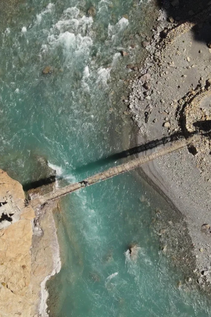
The riding ends at the road-head. From there, a short trek alongside the Lungnak River – crossing wooden suspension bridges and following a river trail – leads to one of the most extraordinary places in the Himalayas. Phugtal Monastery is approximately 2,500 years old and built directly into the face of a cliff, surrounding a natural cave from which a spring emerges. There is no other access. Monks have lived here continuously, in near-total isolation, across the centuries. To stand before it is to understand, in the most immediate way, what human devotion is capable of.
Day 12 - Purne to Sarchu via Shinku La
Distance: ~177 km / 110 miles · Max altitude: 5,053 m / 16,580 ft
A demanding, varied day that covers some of the expedition’s most dramatic terrain. The route passes Gombo Rangjon – a sacred mountain revered across Zanskar – before the road climbs to Shinku La at 5,053 m / 16,580 ft through mud, water crossings and steep switchbacks. The descent on the far side drops onto the plains of Sarchu at 4,290 m / 14,074 ft – a wide, flat, high-altitude expanse strung with tented camps along the Manali-Leh Highway. The contrast with the enclosed drama of Zanskar is total, and quietly disorienting.
Day 13 - Sarchu to Leh: The High Pass Day
Distance: ~251 km / 156 miles · Max altitude: 5,328 m / 17,480 ft
The final riding day is the expedition’s punctuation mark – a long, high, beautiful journey home. The famous 21 hairpins of the Gata Loops open the day, climbing steadily before the route crosses three consecutive high passes: Nakee La at 4,739 m / 15,547 ft, Lachung La at 5,065 m / 16,616 ft, and finally Tanglang La at 5,328 m / 17,480 ft -one of the highest motorable passes in the world. Each summit offers a different panorama. The descent into Leh is long and triumphant. Farewell dinner, shared stories, and a table that will go quiet only when it has to.
Day 14 - Departure
Leh · 3,500 m / 11,483 ft
Breakfast together. Final farewells. Transfers to Leh Airport for onward journeys. The road ends here -but it rarely leaves those who have ridden it.
WHAT'S COVERED
Inclusions
- Royal Enfield Himalayan 450 with fuel for the official itinerary
- 13 nights' twin-sharing accommodation in boutique hotels, guesthouses and luxury camps
- Buffet breakfast and dinner daily; lunch, tea, coffee and water throughout the ride
- 24/7 medic with emergency oxygen and high-altitude medication
- Certified Royal Enfield mechanics and dedicated luggage/spares vehicle
- Inner-Line Permits, road taxes, green taxes and monastery entry fees
- Photographer and videographer with drone
- Customised ride T-shirts and exclusive Royal Adventure Moto Tours memorabilia
- Experienced ride leaders guiding the group throughout the full itinerary
Exclusions
- Personal riding kit — armoured jacket, trousers, helmet, gloves, and off-road boots
- Personal expenses, tips, souvenirs, and laundry
- Any costs arising from unforeseen conditions — landslides, weather-related delays, additional accommodation or flight bookings
- Visa costs, international flights, and alcohol
- Comprehensive personal travel and medical insurance — mandatory, and must be purchased prior to departure
- Fully refundable motorcycle security deposit of £200, payable at the pre-departure briefing
- Applicable GST (Indian tax) on tour services
- Anything not explicitly listed under Inclusions above
A WORD ON CARE
This expedition is classified as Expert level for good reason. The terrain ranges from broken tarmac and loose gravel to active riverbeds, water crossings, high-altitude mud and stretches with no road surface whatsoever. Riders should be experienced and confident off-road, physically fit for long days at altitude, and prepared for conditions that can change without notice. Maximum group size is 12 riders. A full-time medic with emergency oxygen and high-altitude medication accompanies the group throughout. Comprehensive travel and medical insurance, purchased before departure, is a mandatory requirement for all riders. This is one of the most demanding motorcycle expeditions available anywhere in the world, and one of the most rewarding.
You Might Also Love
More
Journeys Crafted
for Curious Travelers
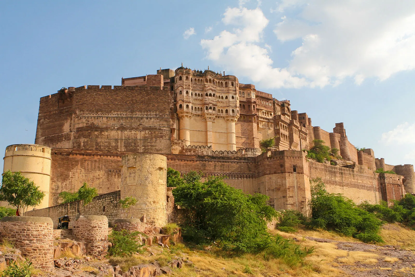
Rajasthan - Desert Highways. Ancient Forts. Wildlife
From Delhi to Delhi
Duration:
12 Nights & 13 Days
Max Altitude: 595m / 1,952ft
Total Distance: 2,200 kms / 1,367 miles
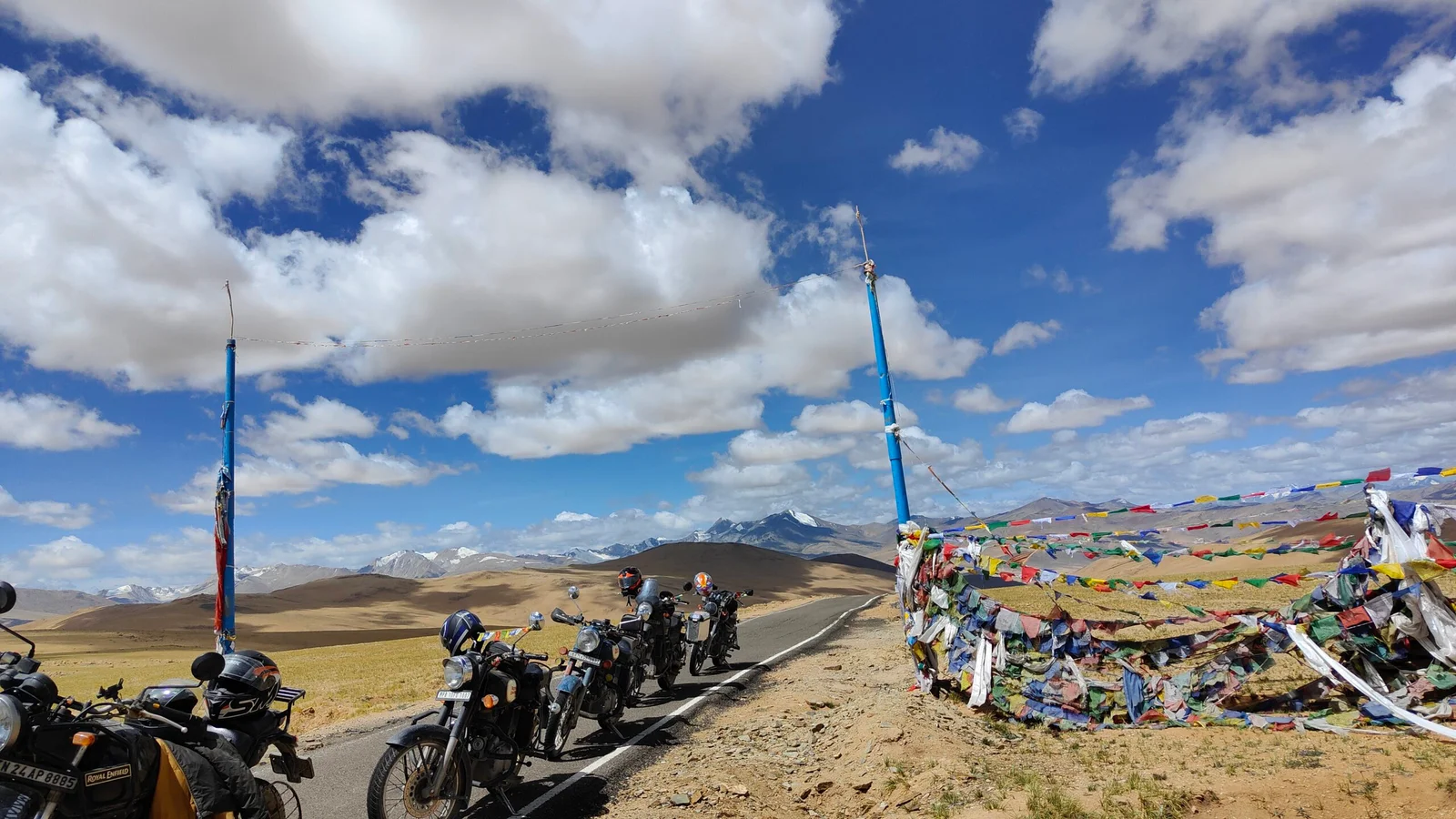
Spiti Valley - Where the road runs out
From Chandigarh to Chandigarh
Duration:
10 Nights & 11 Days
Max Altitude 4,551m / 14,931ft
Total Distance: 1,200 kms / 746 miles
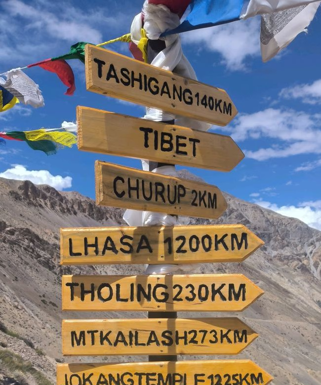
North-east India - India’s last great secret
From Guwahati to Guwahati
Duration: 11 Nights & 12 Days
Max Altitude 2,657m / 8,757ft
Total Distance: 1,600 kms / 994 miles