
Spiti Valley - Where The Road Runs Out
Remote Mountain Trails · Ancient Monasteries · River Crossings
THE DESTINATION
Most riders come to India for the altitude. Spiti attracts a different kind of rider entirely – one who has looked at a map, seen the roads marked “seasonal” and “unmetalled,” and felt something stir rather than something cautionary. This is a valley that does not reward the cautious. It rewards the curious, the technically capable, and the rider who understands that the finest roads are not always the smoothest ones.
Tucked deep in the trans-Himalayan region of Himachal Pradesh, the Spiti Valley sits at the intersection of the Indian Himalayas and the Tibetan Plateau – a cold desert river valley carved over millennia into a landscape of such stark, alien beauty that it feels less like India and more like the surface of another planet. At an average altitude of 3,800 metres / 12,467ft, altitude is not Spiti’s currency. Terrain is. Water crossings that appear without warning. River beds that serve as roads. Trails where the tarmac simply stops and the mountain continues regardless. For enduro riders and off-road enthusiasts, this is not a destination that needs to justify itself – it is the Himalayan experience on its own uncompromising terms.
This is also one of the most culturally extraordinary valleys in all of India. Tabo Monastery, founded in 996 AD and still active, is often called the Ajanta of the Himalayas. Dhankar, perched impossibly on a cliff above the confluence of the Spiti and Pin rivers, looks like it was placed there by someone unconcerned with the laws of physics. The world’s highest post office sits in Hikkim, at 4,400 metres, and still processes mail. A mummified monk in Gue village, preserved for over five centuries, sits in a glass shrine in a room that visitors can simply walk into. Spiti does not announce its wonders. It places them quietly in the rider’s path and waits.
Royal Adventure Moto Tours has ridden every kilometre of this valley – across the river crossings, through the sand stretches, over Kunzum Pass in rain and shine – and built a support structure that means riders can push into its most remote corners with complete confidence. The result is a journey that is equal parts raw adventure and cultural immersion, fully supported throughout, and unlike anything else in the portfolio.
Route highlights: Chandigarh · Narkanda · Kalpa · Kinnaur · Nako · Gue · Tabo · Dhankar · Pin Valley · Mud · Kaza · Hikkim · Komic · Langza · Kibber · Chicham Bridge · Kunzum Pass · Chandratal Lake · Manali · Chandigarh
Best time to ride: June to October
Ride character: Enduro Adventurer – off-road, river crossings, broken trail, tarmac, and everything in between
Cultural highlights: Ancient Buddhist monasteries, cliff-top villages, fossil beds, and the world’s highest post office
STARTING FROM
£2,250/ person
TOUR SPECIFICATIONS
June to September
FROM £2,250
FROM £2,050
FROM £2,450
*Advance Deposit 25%; Balance 75% payable at least 90 days prior to the tour start date. Additional 5% GST is levied on all costs.
FULL ITINERARY
Day 1 - Arrival in Chandigarh
Altitude: 365m / 1,198ft
Chandigarh is one of India’s most well-planned and navigable cities – a clean, calm, and comfortable starting point before the valley takes over. Arrive, check in, and meet the Royal Adventure team for the pre-departure briefing: route overview, motorcycle handover, kit checks, and a first look at what the next ten days will demand and deliver. For those arriving early, Chandigarh’s famous Rock Garden – a sprawling sculpture park built entirely from industrial and urban waste – is worth an evening wander. The motorcycles are ready. The Himalayas are two days away. Rest well.
Day 2 - Chandigarh to Narkanda
Distance: 175 kms / 109 miles · Approx. Time: 6–7 hrs · Altitude: 2,708m / 8,885ft
The ride out of Chandigarh begins on good tarmac through Solan and Shimla – Himachal Pradesh’s colonial-era hill capital, clinging to a ridge at 2,200m / 7,218ft with a character entirely its own – before climbing further through Kufri’s dense pine and deodar forests to Narkanda. The road settles into a satisfying rhythm: wide, forested, and progressively quieter as the day advances. Narkanda itself sits at nearly 2,708m / 8,885ft with views of the Himalayan ranges stretching across the horizon – the first proper preview of what lies ahead. An early night and a good dinner; the serious riding begins tomorrow.
Day 3 - Narkanda to Kalpa
Distance: 180 kms / 112 miles · Approx. Time: 7–8 hrs · Altitude: 2,960m / 9,711ft
The road drops from Narkanda to follow the Sutlej River through Rampur – a historic market town that has been a trading post between India and Tibet for centuries – before climbing again into Kinnaur district. The Kinnaur Kailash mountain range appears here for the first time: a dramatic wall of snow-capped peaks rising above apple orchards and terraced villages in a combination of beauty that is specific to this part of Himachal. A stop at Recong Peo (2,290m / 7,513ft) for Protected Area Permits is required before entering the inner Kinnaur region. Kalpa, the night’s destination at 2,960m / 9,711ft, sits above the Sutlej gorge with direct, unobstructed views of the Kinnaur Kailash range – a set of peaks considered sacred in both Hindu and Buddhist traditions. The optional walk to Suicide Point, perched above a sheer drop into the valley, is not for the faint-hearted – but then, neither is the rest of this tour.
Day 4 - Kalpa to Tabo via Nako and Gue
Distance: 190 kms / 118 miles· Approx. Time: 9–10 hrs · Altitude: 3,280m / 10,761ft
This is the day Spiti begins to reveal its true character. The road from Kalpa into the Spiti Valley grows progressively more dramatic – cliffs tightening, the valley floor dropping away, the landscape shifting from green Kinnaur forest into the brown and ochre palette of the high cold desert. Nako, a small hamlet at 3,662m / 12,014ft built around a serene glacial lake and an ancient monastery, is the first of many stops that will feel entirely disconnected from the world most riders left behind. Further on, Gue Village holds one of the most extraordinary and quietly moving sights on the entire tour – a centuries-old monk preserved in remarkable condition, housed in a small village shrine that is open to visitors. The valley opens further on the approach to Tabo – known as the Ajanta of the Himalayas, home to a monastery complex founded in 996 AD that remains one of the oldest continuously functioning monasteries in the world.
Day 5 - Tabo to Mud via Dhankar Monastery and Pin Valley
Distance: 85 kms / 53 miles · Approx. Time: 4–5 hrs · Altitude: 3,810m / 12,500ft
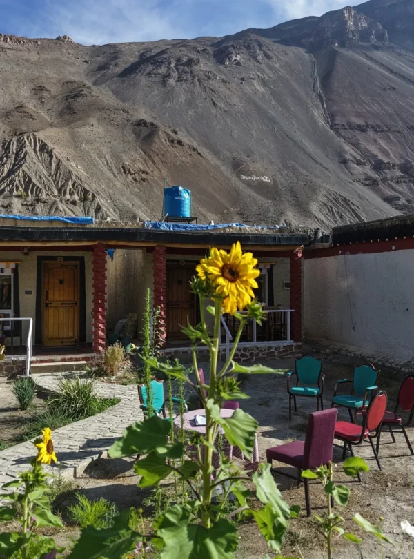
A shorter day in distance – but one of the most visually extraordinary on the entire expedition. The morning begins with a visit to Tabo Monastery itself, its ancient mud-brick temples holding 10th-century murals and sculptures that have survived a thousand years of Himalayan winters. From Tabo, the route heads to Dhankar – a monastery and village perched so improbably atop a crumbling cliff above the confluence of the Spiti and Pin rivers that it appears to defy both gravity and common sense. An optional short trek to Dhankar Lake above the monastery rewards the effort with views that no road in the valley can match. The afternoon drops into Pin Valley – a side valley of the Spiti, wilder and more remote still, part of the Pin Valley National Park and home to the elusive snow leopard. The day ends at Mud, the last village accessible by road in Pin Valley. Walking the narrow lanes between its stone houses, passing locals going about their daily rhythm entirely undisturbed by the pace of the outside world, is one of those travel experiences that no itinerary can fully prepare a rider for. The overnight stay is in a quaint, comfortable homestay – warm, welcoming, and as far removed from a hotel room as it is possible to be. Mud does not offer luxury. It offers something considerably rarer: genuine stillness, genuine hospitality, and mountains closing in on all sides under a sky that belongs entirely to the night.
Day 6 - Mud to Kaza via Key Monastery, Kibber and Chicham Bridge
Distance: 120 kms / 75 miles · Approx. Time: 6–7 hrs · Altitude: 3,650m / 11,975ft
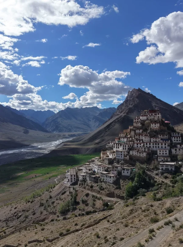
Back through Pin Valley to the Spiti Valley’s main artery, and then up to the centrepiece of the entire region. Key Monastery – a 1,000-year-old fortress monastery sitting on a conical hill above the Spiti River at 4,166m / 13,668ft – is the largest and most iconic in the valley, and the view of it from the approach road is one of those sights that stops riders mid-ride. Kibber, one of the highest motorable villages in the world, sits above Key at 4,205m / 13,796ft with panoramic views across the valley that justify every metre of the climb. From Kibber, the route crosses the Chicham Bridge – one of the most dramatic high-altitude bridges in the Himalayas, spanning a sheer canyon carved by the Samba Lamba Nallah far below. It is the kind of crossing that reminds riders, viscerally, that Spiti does not do things by halves. Arrive in Kaza – the administrative capital of Spiti Valley and the closest thing the valley has to a hub – for a well-earned rest and dinner at one of the town’s surprisingly good local cafés.
Day 7 - Kaza Exploration Loop - Hikkim, Komic and Langza
Distance: ~50 kms / 31 miles · Approx. Time: 4–5 hrs · Altitude: 4,400m / 14,436ft
A shorter day in saddle time, but one of the richest in experience. The loop from Kaza visits three of the valley’s most remarkable high-altitude villages – each sitting above 4,000 metres and each with its own specific reason to stop. Hikkim holds the world’s highest post office at 4,400m / 14,436ft, and sending a postcard from here – stamped with an altitude that most post offices will never see – is a small but genuinely memorable act. Komic, one of the highest motorable villages on the planet, is home to the ancient Tangyud Monastery and views across a landscape so vast and bare it feels prehistoric. Langza sits beneath a giant Buddha statue overlooking the village, and its ground is embedded with marine fossils from the ancient Tethys Sea that once covered this entire region – evidence, written in stone, that these mountains were once an ocean floor. The loop returns to Kaza for a leisurely afternoon and an evening in the town.
Day 8 - Kaza to Chandratal Lake via Kunzum Pass
Distance: 90 kms / 56 miles · Approx. Time: 4–5 hrs · Altitude: 4,551m / 14,931ft (Kunzum Pass)
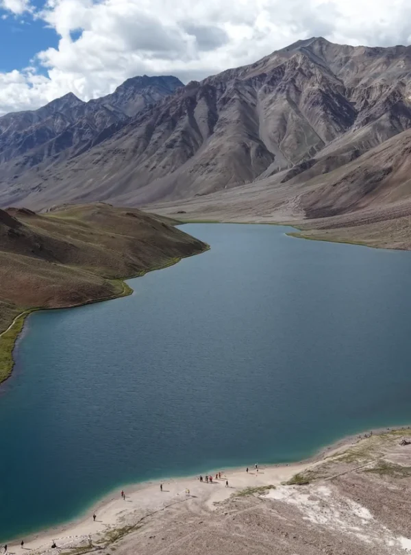
This is where Spiti’s off-road credentials move front and centre. The road from Kaza toward Kunzum Pass deteriorates – deliberately, gloriously – into the kind of surface that enduro riders plan entire trips around. River crossings, rocky riverbeds standing in for roads, loose shale, and stretches where the track simply disappears for a while before reappearing on the other side of a stream. The Royal Adventure team knows every crossing, every tricky section, and rides with the group throughout. Kunzum Pass at 4,551 metres is the gateway between Spiti and Lahaul – a high, windswept saddle ringed by peaks above 6,000 metres, marked by a small circular temple to Goddess Kunzum Devi where riders traditionally circle before crossing. Beyond the pass, the road drops toward Chandratal – the Moon Lake, named for its perfect crescent shape and sitting at 4,300m / 14,108ft surrounded by peaks reflected in water of an extraordinary clarity. Camp here overnight under one of the darkest skies in the Himalayas.
Day 9 - Chandratal to Manali
Distance: 110 kms / 68 miles · Approx. Time: ~6 hrs · Altitude: 2,050m / 6,726ft
The descent from Chandratal to Manali is one of the great descents in Himalayan motorcycling – a long, sustained drop through Batal and Gramphu, joining the Manali-Leh Highway at the valley floor and following the Chandra River as it widens and the mountains gradually step back. The air thickens perceptibly with every kilometre of descent, and by the time Manali’s first pine forests appear, the contrast with the cold desert of Spiti is complete and striking. Manali is a proper town – food, warmth, connectivity, and the comforting noise of ordinary life – all of which feel particularly vivid after eight days in one of the most remote valleys in India. The evening is for a celebratory dinner: stories from the road, the crossings survived, the passes crested, and the photographs that will not do any of it justice.
Day 10 - Manali to Chandigarh
Distance: 270 kms / 168 miles · Approx. Time: ~7 hrs · Altitude: 365m / 1,198ft
The final riding day follows the Beas River south through Kullu and Mandi before settling into the broad Himalayan foothills toward Chandigarh. The road is good, the riding is relaxed, and the miles pass in the particular pleasant way that final days do – the landscape softening, the traffic gradually returning, the valley opening out. There is time to reflect on what the previous nine days contained: the mummified monk at Gue, the cliff-top monastery at Dhankar, the world’s highest post office at Hikkim, the river crossings before Kunzum, the crescent lake at 4,300m / 14,108ft under a sky full of stars. Arrive in Chandigarh for the last night together.
Day 11 - Farewell - Departure from Chandigarh after Breakfast
Altitude: 365m / 1,198ft · Departure Day
Breakfast together one final time. Kit packed, riding gear stowed, contacts exchanged. And then Spiti – the broken roads, the cliff-top monasteries, the crossings, the cold desert silence, the monk in the glass shrine – becomes memory. Not the fading kind. The sort that surfaces years later, unexpectedly, and makes the ordinary feel briefly insufficient by comparison. That is what Spiti does to a rider. That is why, for the right person, it is not a destination visited once. It is a valley returned to.
WHAT'S COVERED
Inclusions
- Royal Enfield Himalayan 450 Motorcycle (or Guerrilla 450 on request) with fuel for the entire official itinerary
- 10 nights accommodation on a twin-sharing basis in premium handpicked boutique hotels and luxury camps
- All meals - buffet breakfast and dinner - plus lunch, tea, coffee, and mineral water for refreshments throughout the ride
- 24/7 dedicated medical support with a full-time professional medic accompanying the convoy, carrying emergency medical and oxygen kits
- Complete mechanical support by certified Royal Enfield specialist technicians, with a dedicated luggage and spares vehicle
- All restricted area and Protected Area Permits, road taxes, green taxes, and entry tickets to monasteries and monuments
- Creative team - photographer and videographer with drone - capturing personalised photos and video of the entire ride
- Customised ride T-shirts and exclusive Royal Adventure Moto Tours memorabilia
- Experienced ride leaders guiding the group through every section - including off-road, river crossings, and no-road stretches
- Backup vehicle available for family or friends travelling as non-riders (on request)
Exclusions
- Personal riding kit - armoured jacket, trousers, helmet, gloves, and boots
- Personal expenses, tips, souvenirs, and laundry
- Any costs arising from unforeseen conditions - landslides, weather-related delays, additional accommodation or flight bookings
- Visa costs, international flights, and alcohol
- Comprehensive personal travel and medical insurance - mandatory, and must be purchased in the UK prior to departure
- Fully refundable motorcycle security deposit of £200, payable at the pre-departure briefing
- Applicable GST (Indian tax) on tour services
- Anything not explicitly listed under Inclusions above
A WORD ON CARE
For bookings, availability, and any questions about the tour, get in touch with the Royal Adventure Moto Tours team. A detailed pre-departure information pack is shared with all confirmed riders — covering kit lists, fitness preparation, altitude guidance, and what to expect on the road.
You Might Also Love
More
Journeys Crafted
for Curious Travelers
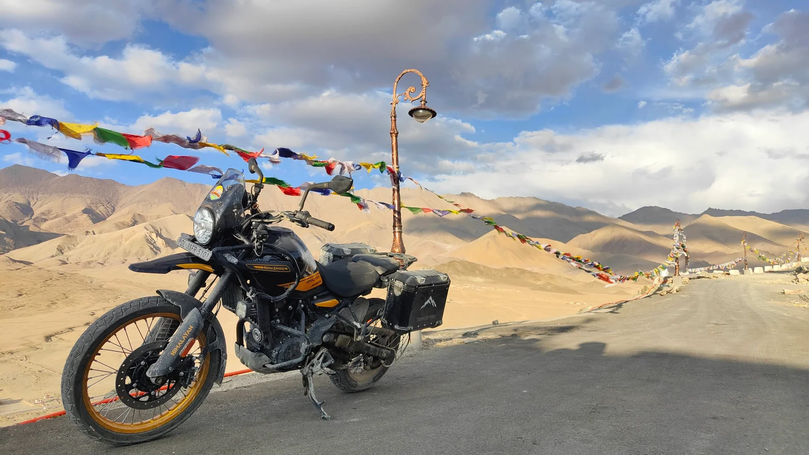
Ladakh - The Roof Of The World
From Leh to Leh
Duration: 10 Nights & 11 Days
Max Altitude: 798m / 19,024ft
Total Distance: 1,200 kms / 746 miles
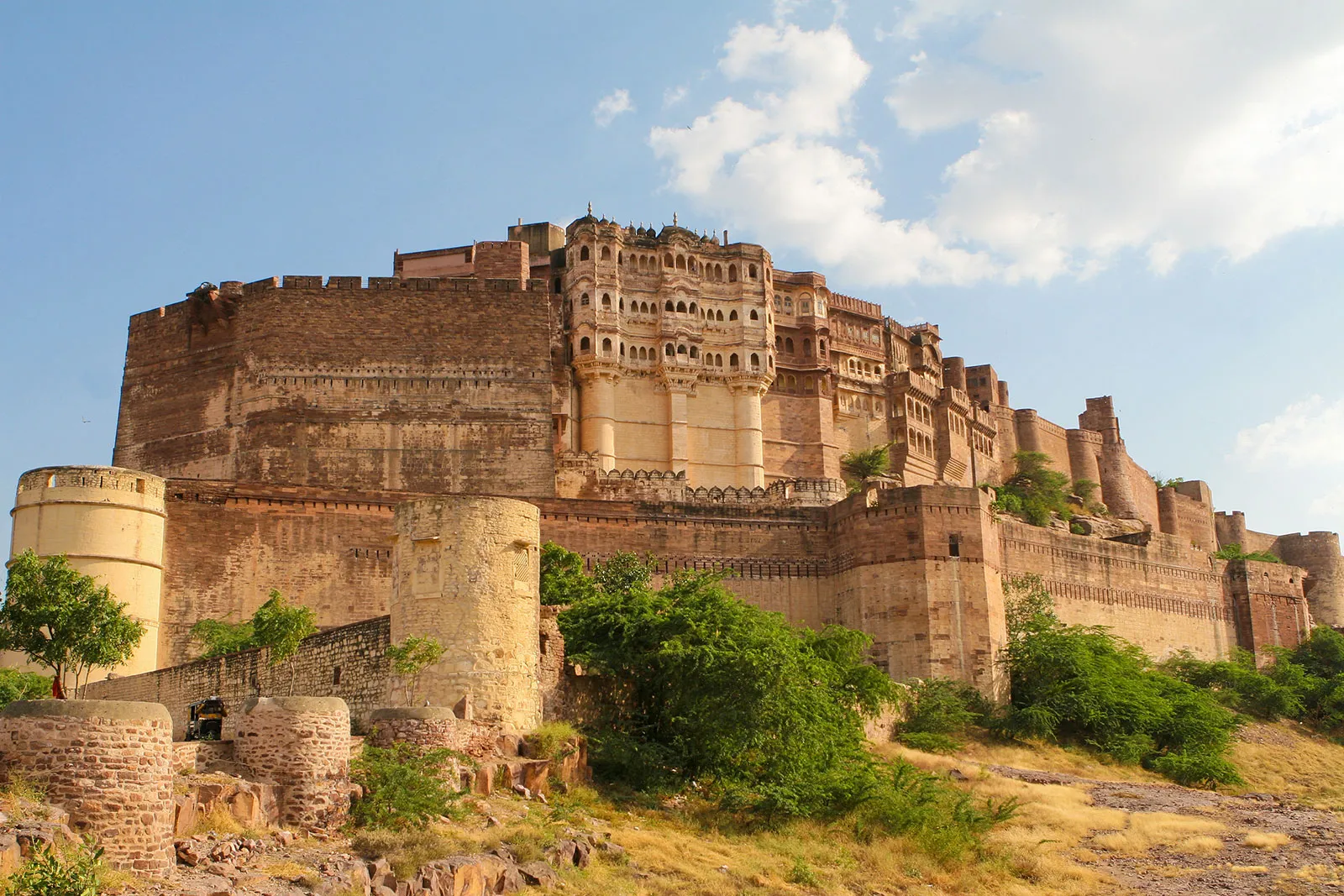
Rajasthan - Desert Highways. Ancient Forts. Wildlife
From Delhi to Delhi
Duration:
12 Nights & 13 Days
Max Altitude: 595m / 1,952ft
Total Distance: 2,200 kms / 1,367 miles
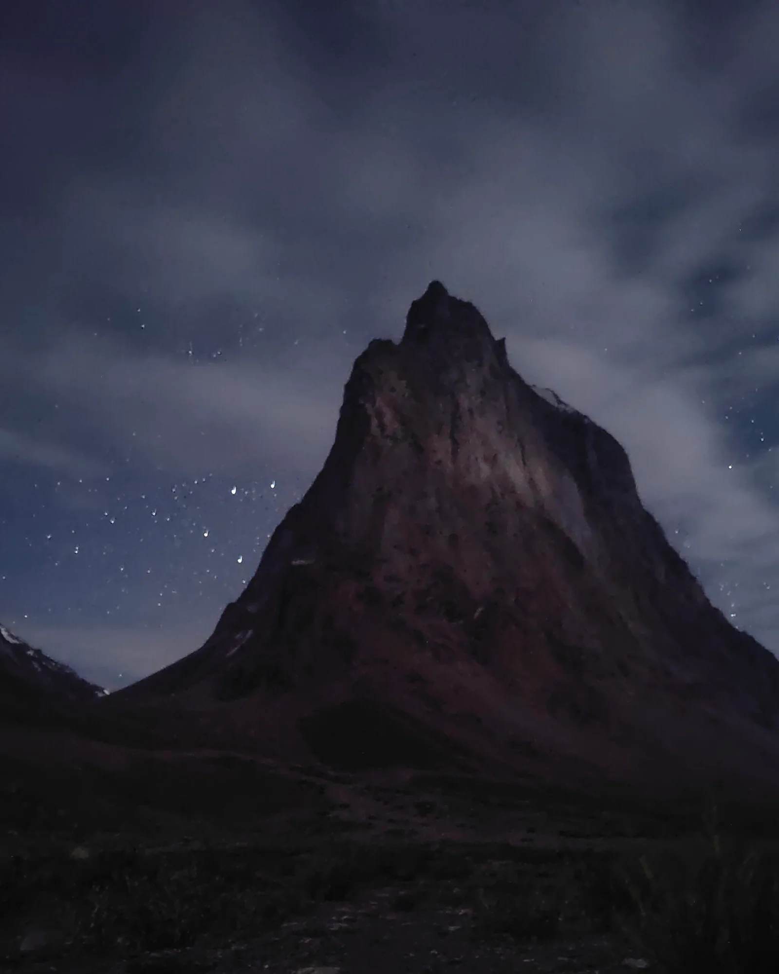
Zanskar - The Road Less Ridden
From Leh to Leh
Duration: 13 Nights & 14 Days
Max Altitude: 5,798m / 19,024ft
Total Distance: 1,870 kms / 1,162 miles